Visualizations > Planet Earth > Space.com | National Geographic | NASA
Space.com
Space.com is the premier source of space exploration, innovation and astronomy news, chronicling (and celebrating) humanity’s ongoing expansion across the final frontier. We transport our visitors across the solar system and beyond through accessible, comprehensive coverage of the latest news and discoveries. For us, exploring space is as much about the journey as it is the destination. So from skywatching guides and stunning photos of the night sky to rocket launches and breaking news of robotic probes visiting other planets, at Space.com you’ll find something amazing every day.
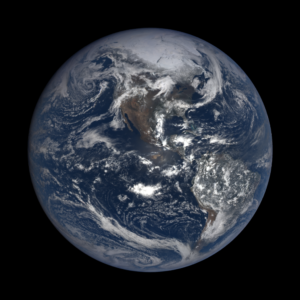
NASA Satellite Captures EPIC View of Earth’s Clouds and More (Video) by Calla Cofield, Space.com Staff Writer December 14, 2015 03:00pm ET
Black Marble: Amazing Earth at Night Photos from Space by SPACE.com Staff April 17, 2017 03:00pm ET
National Geographic
New Nighttime Map Shows Earth in Whole New Light – Comparing satellite data from 2012 and 2016 reveals where the planet has dimmed and brightened.
Earlier this month, when NASA released a new global mosaic of Earth’s night-lights based on images collected throughout 2016, cartographer John Nelson was intrigued by the comparison with the 2012 mosaic. NASA’s image sliders, which show a spot of Earth from both of those time periods, revealed changes in the quantity or brightness of lights.
Nelson, a cartographer at the mapping-software company Esri, compared the equivalent pixels on two different maps and calculated the difference by subtracting the brightness value of one from the other. He then mapped those differences, showing places where the 2016 mosaic was brighter in blue, and places that had dimmed in pink.
NASA
NASA’s Earth Polychromatic Imaging Camera (EPIC) camera (site)

NASA Goddard YouTube channel video – Tour of the Moon in 4K (published on Apr 9, 2018)
This video is public domain and along with other supporting visualizations can be downloaded from the Scientific Visualization Studio at: http://svs.gsfc.nasa.gov/4619
Credit: NASA’s Goddard Space Flight Center/David Ladd & Ernie Wright
Ernie Wright (USRA): Lead Visualizer – Scientific Visualization Studio
David Ladd (USRA): Lead Producer, Editor, Narrator
Noah Petro (NASA/GSFC): Lead Scientist
